
|
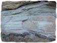
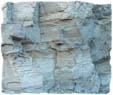
Subsurface mapping of any geological setting requires the accurate identification and description of subsurface geology, particularly, each individual entity. The representation of these lithologies into any geospatial information system necessitates data standardization, structuring and formatting. Even more importantly, the assessment of accuracy levels of this raw data to evaluate fitness-for-use for various geological applications can not be over-emphasized. These mandate the analysis and comparison of various standardization systems that attempt to accord accuracy levels to this raw data.
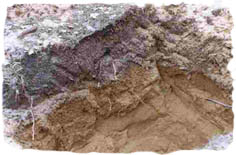
This project focuses on subsurface mapping through well-log data in two study sites; Abbotsford and Grand Forks basin. Well-log data are provided primarily by water well drillers in Canada . The limitation of this data is based on the variability of terms used to describe the subsurface material. Over 52,000 different lithological terms have been used to describe British Columbia 's subsurface and consequently, this range grossly overestimates the variability in the geology (Schuurman 2002). The task was to implement this well-log data in two classification systems and compare the resulting subsurface model in each study area.
Model comparison of the GSC and BC standardization systems for the two study sites reveal patterns of these rule-based classification systems and describe the generalised geological settings of the study regions. The observations made in this project dealt with classification patterns for large and small area well-log data. The two classification systems; GSC and BC schemes used in the well-log standardization demonstrate significant similarities and consistent pattern in well-log outputs for the two sites. However, there are certain material category variations and the number of well-logs used in the standardization process affects outcomes of these models.
|

Group Members:
Dawn Cambrin
Lisa Demeule
Gift Dumedah
Dylan Hoare
Kevin Simmonds

March 2004